Baton Valley Project
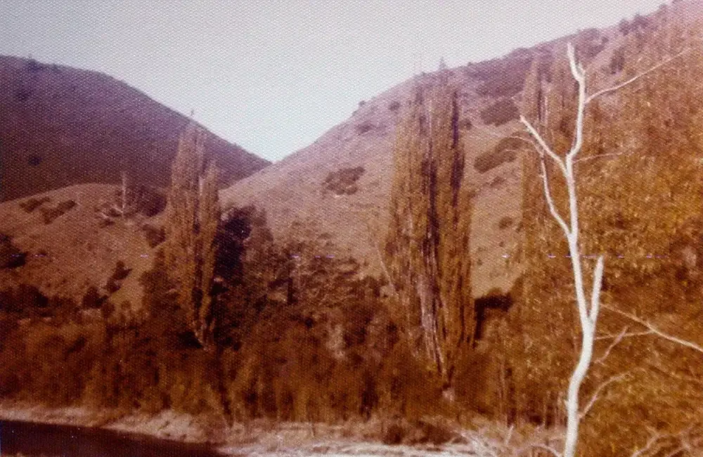
1970s
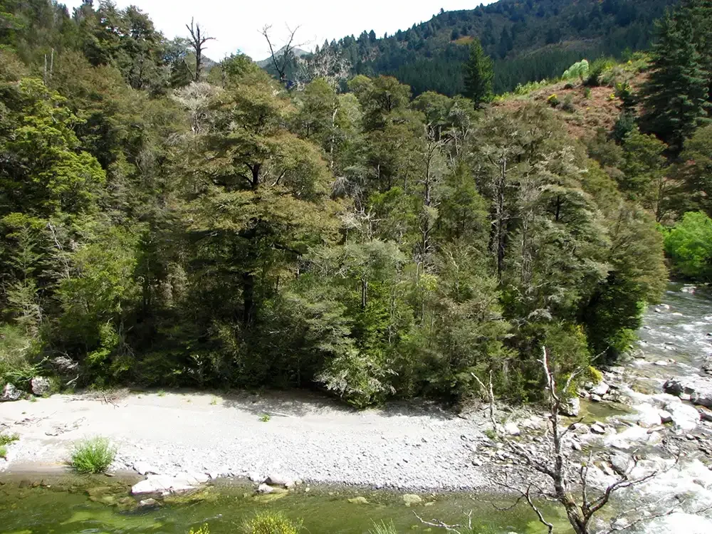
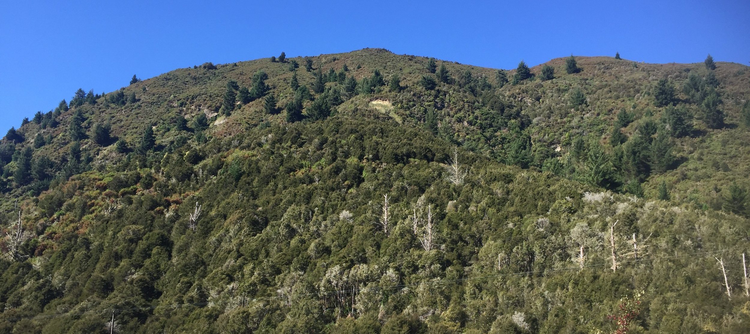
Now
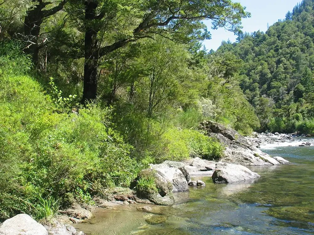
Te Ngāhere -The Forest
This land was originally part of a larger sheep farm and consists mostly of steep terrain, reaching up to approximately 600 meters above sea level. Historically, it was subjected to annual burn-offs until the 1980s when farming ceased, allowing natural vegetation to gradually recover. The owners acquired the property in 2007 and subsequently protected a significant portion under the QE2 Trust in 2008. The native forest area under covenant is 147 ha and out of this area, 50 ha is registered in the NZ ETS.
The vegetation on the land includes remnants of beech forest, extensive areas of regenerated kanuka, as well as gorse, honeysuckle, old man’s beard, and scattered wilding pines and other conifers. The Baton River at this location is habitat for whio, and karearea are frequently observed.
The primary focus in recent years has been on controlling wilding pines, especially in areas dominated by kanuka. While the owners have engaged in some native planting, our efforts have primarily been directed towards pine removal.
Te Tāngata - The People
The landowner is Gerard Malcolm.
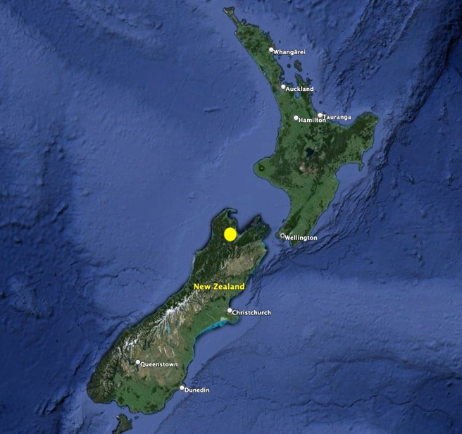
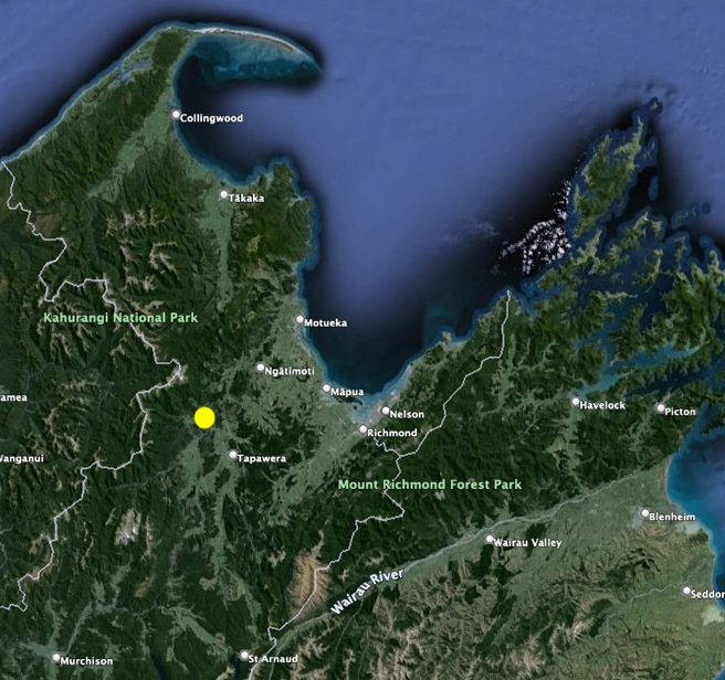
The Baton Valley Project is located in the Tasman region of the South Island, in the Baton Valley.
Wāhi - The Location
Technical Stuff
The Baton Valley Project is being undertaken under the Permanent Forest Category of the New Zealand Emissions Trading Scheme. The project issues New Zealand Units (NZUs) based on New Zealand Government rules for carbon sequestration rates by indigenous forest.
Once the NZUs are sold to a carbon offset buyer, they are cancelled in the New Zealand Emissions Trading Registry so they cannot be used by (or sold to) anyone else.
Baton Valley Project
Project Name
50 ha
Project Area
Gerard Malcolm
Project Owner
Landowner
Project Developer
Tasman District, New Zealand
Project Location
Continuation of pastorlaism (sheep/beef grazing)
Baseline Scenario
Permanent forest protection
Project Scenario
Afforestation/reforestation (A/R): Enhanced natural regeneration
Activity Type
Carbon sequestration; biodiversity conservation; water quality protection; climate resilience
Project Benefits
Not applicable
Trees Planted
Information to come
Carbon Credits Issued
New Zealand Emissions Trading Scheme - Permanent Forest Category
Carbon Credit Standard
Ministry for Primary Industries
Verifier
Carbon Credit Registry
Whāia Te Pūtea - Follow The Money
Conservation costs money. The main cost elements are:
Establishing a forest. This forest was established by nature because it naturally regenerated after the landowner stopped grazing this land.
Conservation management costs. This includes pest and weed control, forest monitoring, and the administration of the carbon project (carbon returns, registry account management and general administration).
Opportunity costs. This is the revenue that the landowner has given up to enable forest conservation to happen. In this project the landowner gave up revenue from pastoral farming - revenue that would normally be used to make a living off the land.
Carbon credit revenue goes to cover these costs.